Day 15: Map Made Without Using A Computer – AT Hand drawn Map
Appalachian Trail Hand Drawn Map
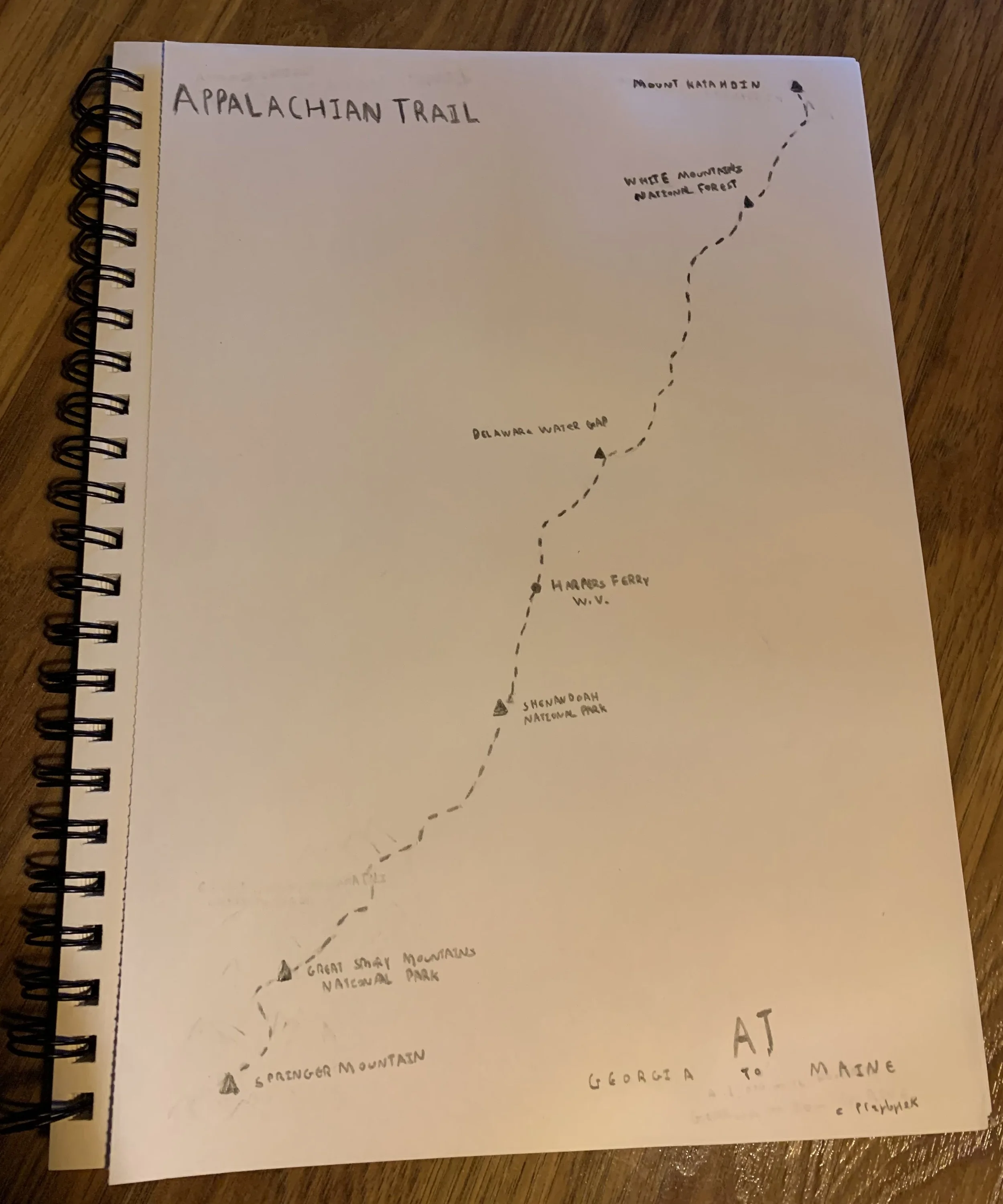
For today’s map, I had to make a map without using a computer, meaning no GIS or design software. I decided to dust off my sketch pad and try to hand draw a map of the Appalachian Trail (AT). The AT is special to me, my wife and thru-hiked the entirety of the trail back in 2016 and we made fond memories along the trail. I thought it would be neat to map. I have not had much experience in the way of drawing maps by hand, but I thought this would be a useful exercise.
Approach
For my tools, I used a sketch pad, some drawing pencils, and an eraser. I decided to keep it simple. I loosely referred to a map of the AT that I have on my wall to sketch out the path of the trail and decided to add Springer Mountain and Mount Katahdin, the AT’s southern and northern terminuses and filled in some interesting spots in between. My map is below.